A method of determining the co-ordinates of points of a terrain on the basis of aerial photographs. The purpose of aero triangulation is to make a geodetic network denser in order to provide photographs with the control points that are necessary of topographic maps and for the solution of various engineering problems.

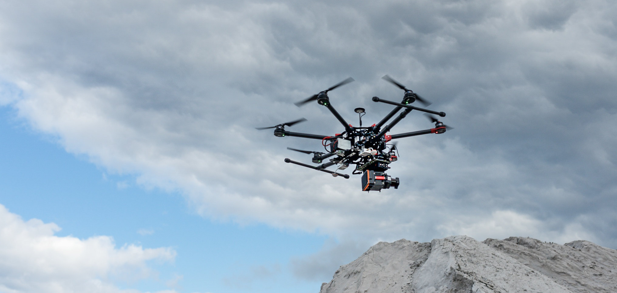
Antler Technologies provides Aerial Photography services of all scales using the different cameras through our associate flying partners. Send your queries to info@antlerit.com
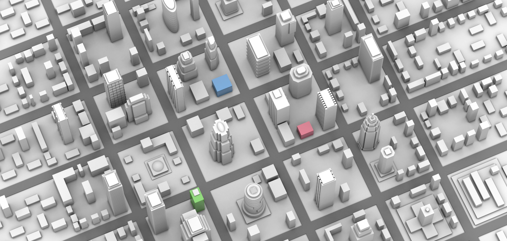
The primary goal of planimetric data collection is the timely collection of an accurate, complete and correctly feature coded data set as per the client given specifications. Using real time stereo facility of the softcopy systems along with Antler Technologies’s proprietary tools we provide an accurate digital planimetric data directly for any output scale in a number of industry standard formats.
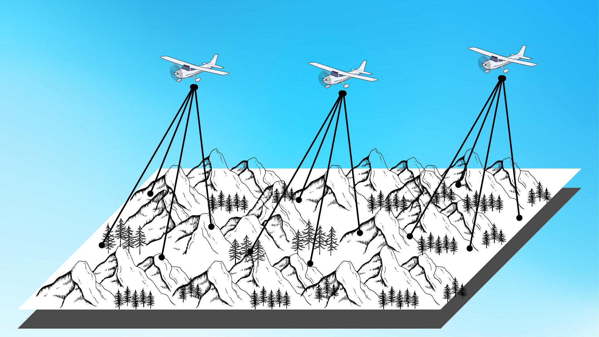
Digital Aerial Triangulation (DAT) is an extremely important phase in the Photogrammetry process. Aero Triangulation is the process of precisely orienting Aerial or satellite imagery to the control system defined for a project. The Addition of AGPS data considerably reduces ground control points, such as pass points and tie points. The pass points are common to photographs to bridge the images composing a flight line together and the tie points are collected to tie the adjacent fight lines together. An automatic or interactive process is used for the measurements of all points including check and ground control points. The final analysis and the block adjustments are done using a variety of bundle adjustment Antler Technologies uses highly automated Aero Triangulation approach that minimizes man hours and produces the high quality.
Antler Technologies can handle almost all sensors and cameras and also expertise in handling complicated cases such as Dense Forested Areas, Bad photography with bad geometry and radiometry deficiency and Bad photography with lots of crab angle
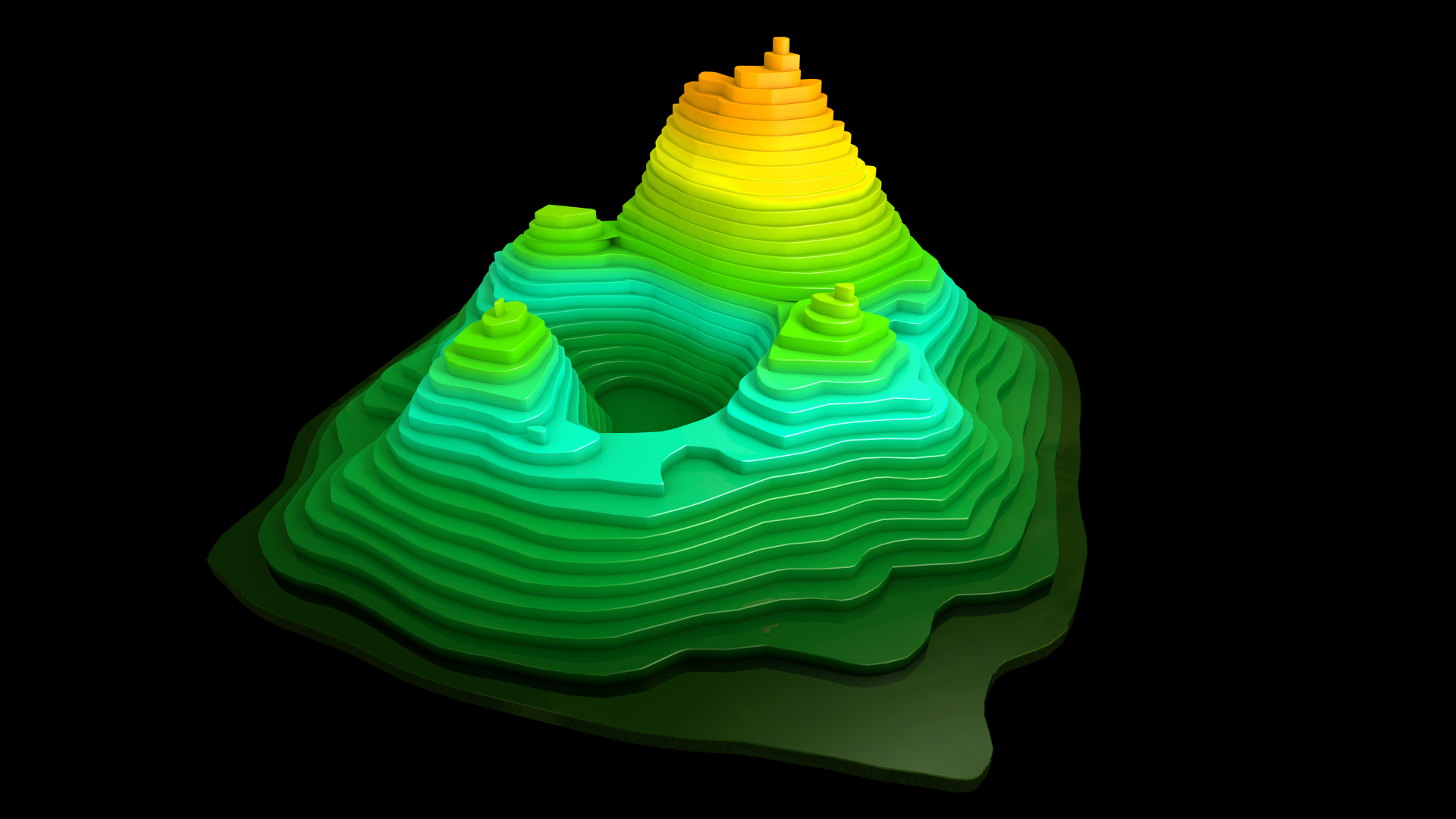
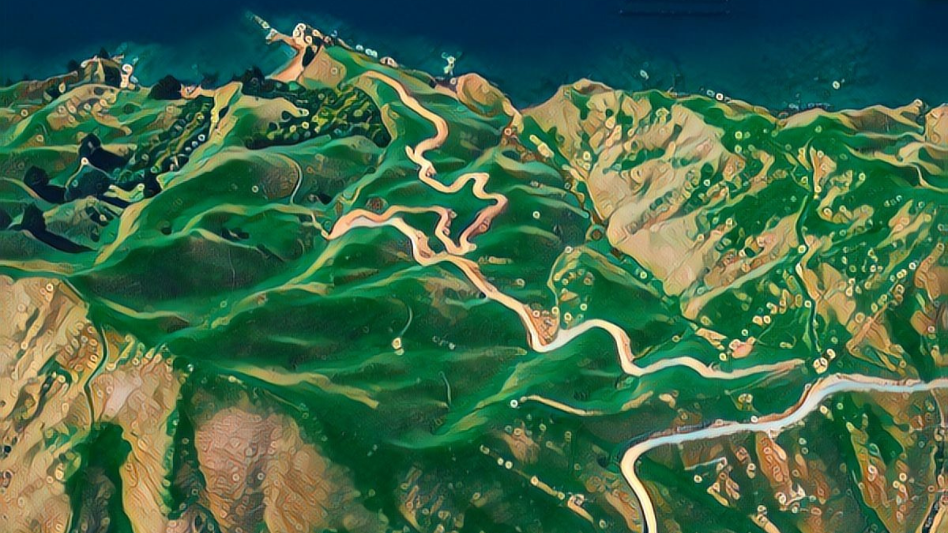
The terms Digital Terrain Model (DTM) and Digital Elevation Model (DEM) are used to distinguish surface models suitable for contour generation and design work from those suitable for orthophoto generation respectively. Triangulated Irregular Network (TIN) is created from mass points and breaklines collected in a 3D Stereo environment. Quality Control procedures ensure that all the surface data is viewed against the background of the 3D stereo model to meet the project specifications. The TIN is used to generate contours using a variety of program to allow for smoothness and accurate cartographic representation.
Digital Surface Model (DSM), Digital Terrain Model (DTM) and Digital Elevation Model (DEM) are height models produced by Antler Technologies, the models are suitable for both Topo and Ortho production
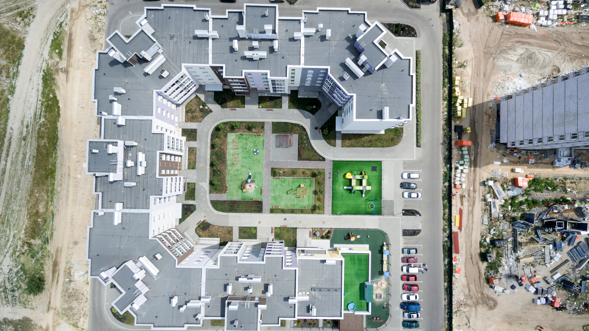
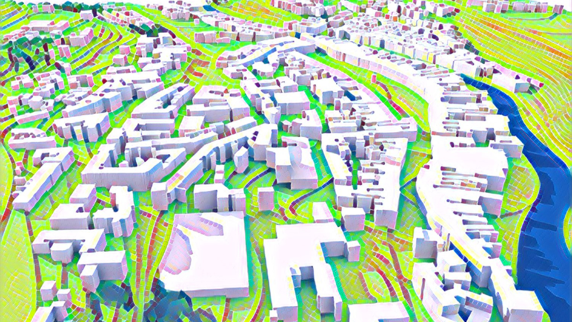
Orthorectification corrects image displacements related to camera tilt and terrain relief inherent in aerial or satellite photography. This allows ortho corrected images to serve an accurate base maps, from which precise measurements of objects, angles, distances and features may be extracted post processing involves several steps such as radiometric adjustment of the imagery to obtain imagery with a continuous tone and image mosaicing to create a seamless orthophoto. The resulting geo-referenced orthos can be delivered as single tiles or re-sampled to different pixel resolution. Digital output in several file formats such as Jpg, Tiff, and Mr. Sid are available for direct use in GIS and CAD software packages such as ArcGIS, AutoCAD, Microstation and MapInfo.
The final quality control steps consists of viewing every ortho tile to checked and correct any significant blemishes or distortion in above ground features such as bridges that are not correctly modeled. Once the images pass through the final QC, we use specialized tools to achieve a 100% compliance with project file format and naming convention. Antler Technologies uses the latest technology to produce the orthos with minimal of manpower usage. Antler Technologies can handle all Digital, Frame and High Resolution Satellite Imageries
#205/A/A,MLA’s Colony, Road No : 12,Banjara Hills ,Hyderabad - 500034
040-24389999
9390555556
info@antlerit.com